Previous page
Summary page for Map 3
South section of St Mary's Butts
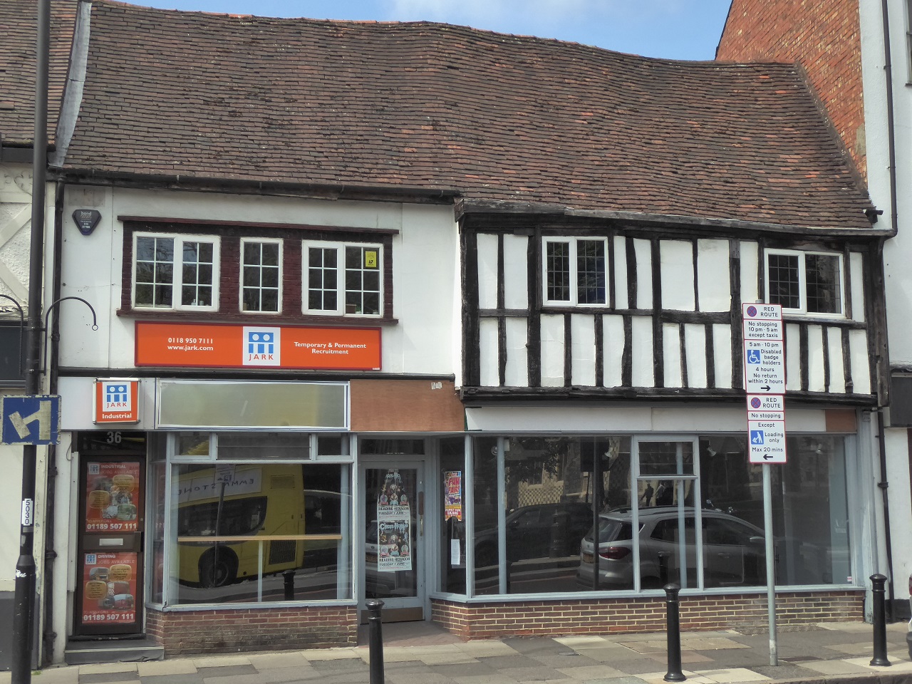
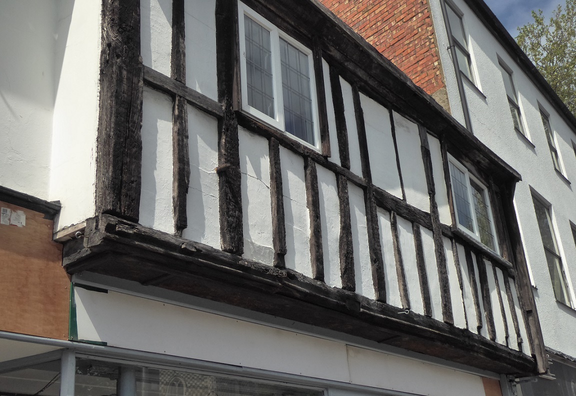
3.7 Listed Building, 35 & 37 St Mary's Butts. 16th century timber-framed.
The jetty and ancient timbers shown in the second photo attest to the status of this as one of Reading's veteran buildings.
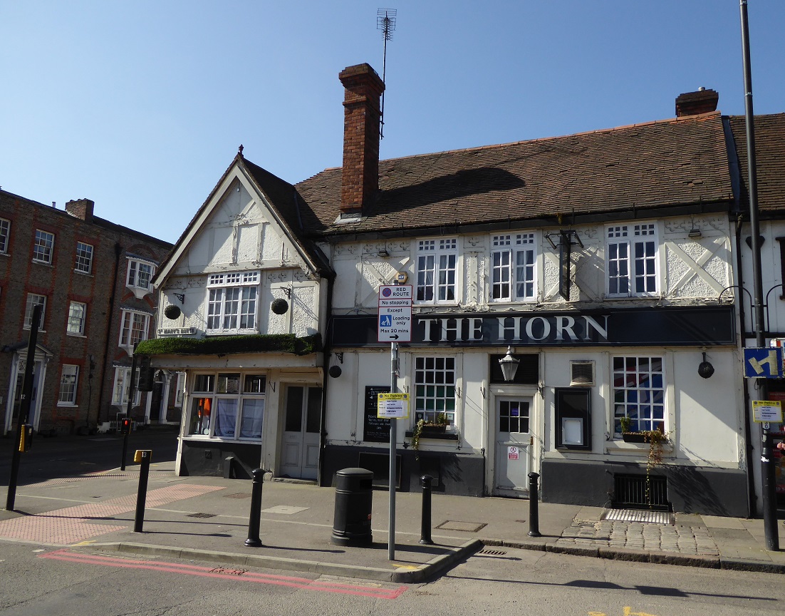
3.8 Listed Building, The Horn public house.
Like its neighbouring building, The Horn dates from the 16th century, although it has been modified in several respects during
the 19th and 20th centuries.
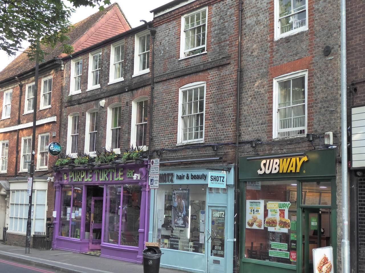
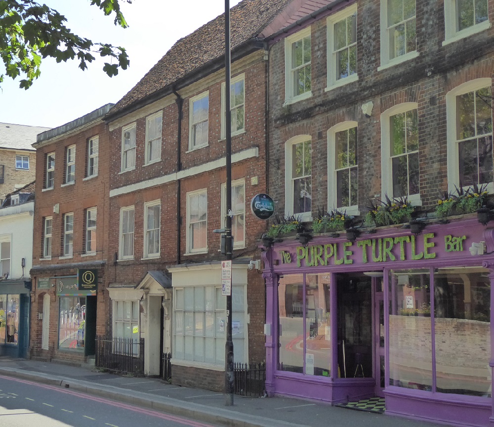
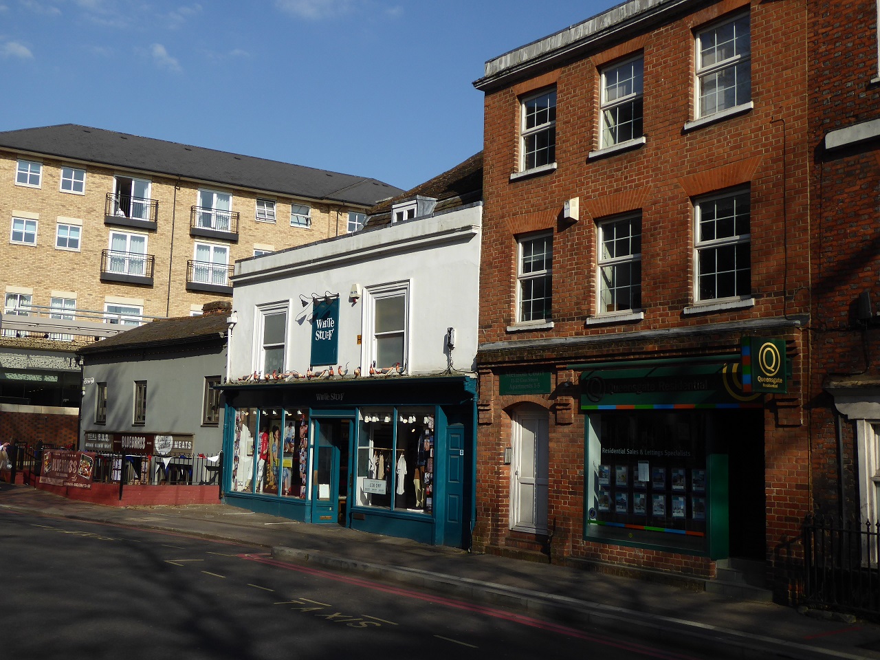
3.9 Listed Buildings, 7-15 Gun St.
Gun Street is one of a number of streets in Reading with a continuous row of listed buildings.
The next three photos show, in the first photo, 7, 8 and 9 Gun St, in the second, after The Purple Turtle, 10 Gun St, and in
the third, 11/12, 13/14 and 15 Gun St.
The buildings date from the 18th and 19th centuries, except no. 15 (the furthest along) which is 17th century.
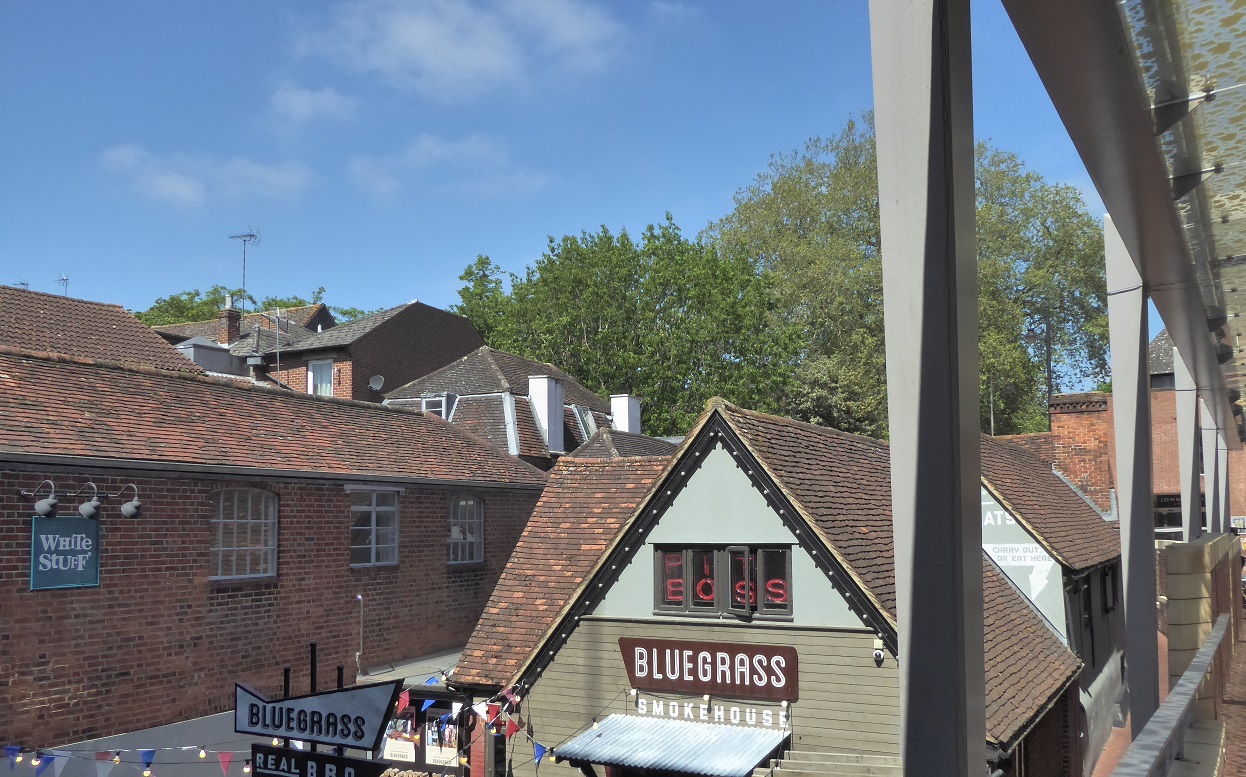
The roofscape over some of the Gun Street buildings - nurtured over two or three centuries.
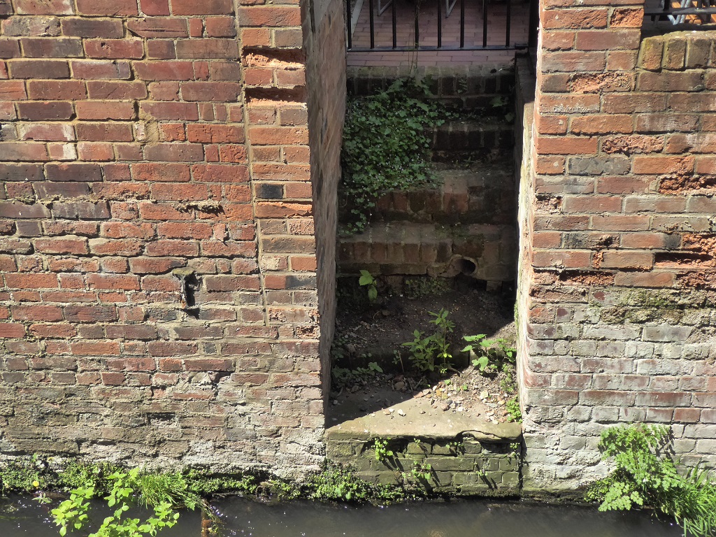
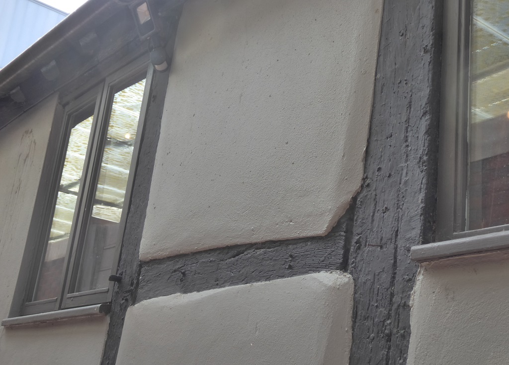
The following pair of photos is of the passageway accessed just beyond no. 15 Gun St, showing the 17th century timber-frame construction of the extension to the building.
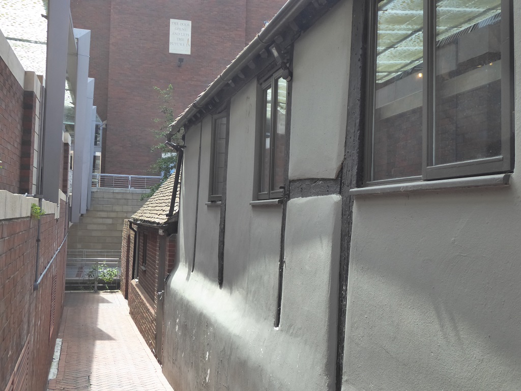
Continue along the passageway by no. 15 Gun St. to reach Holy Brook and the next site.
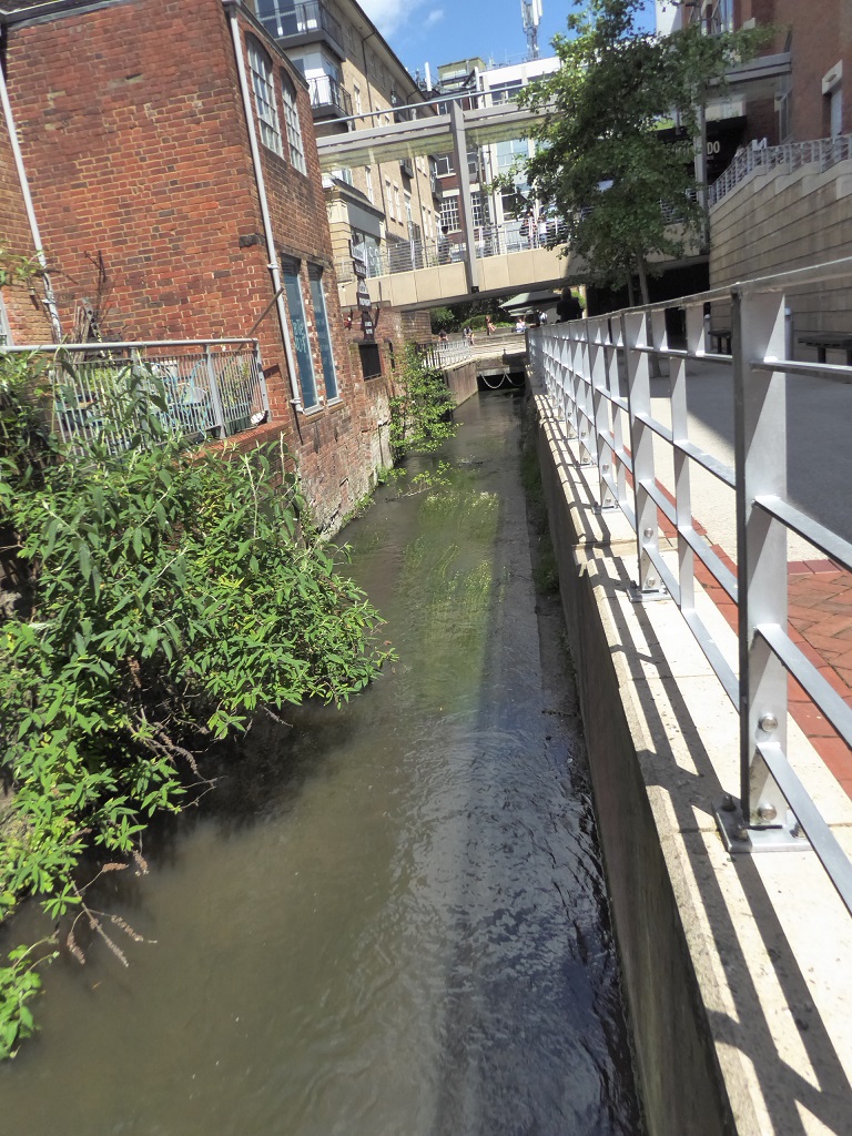
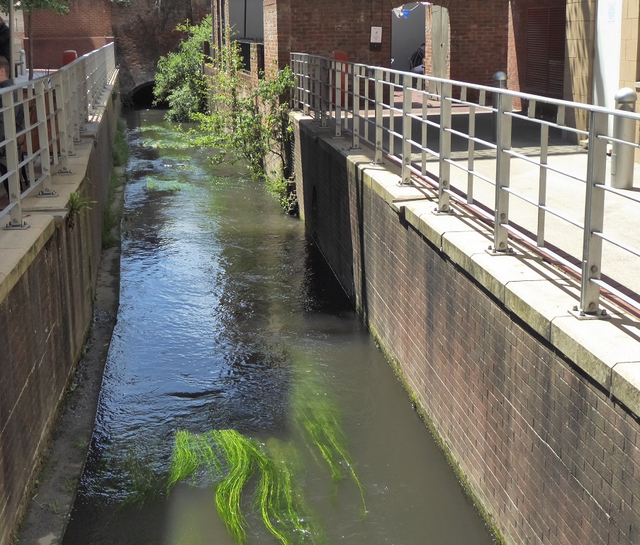
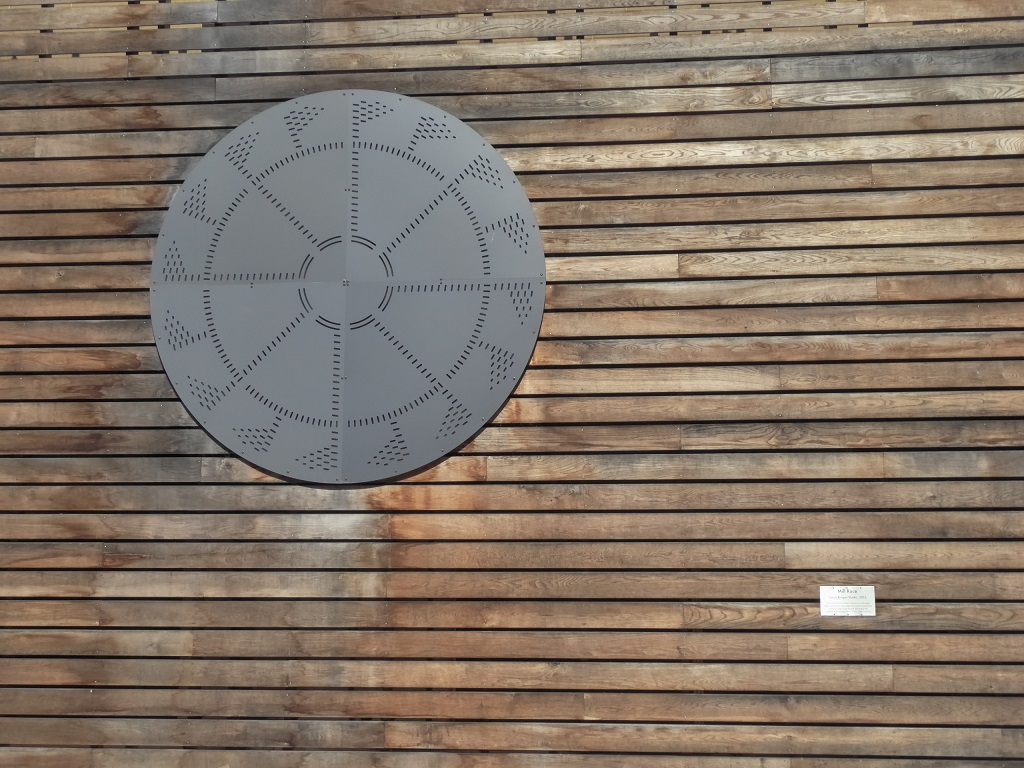
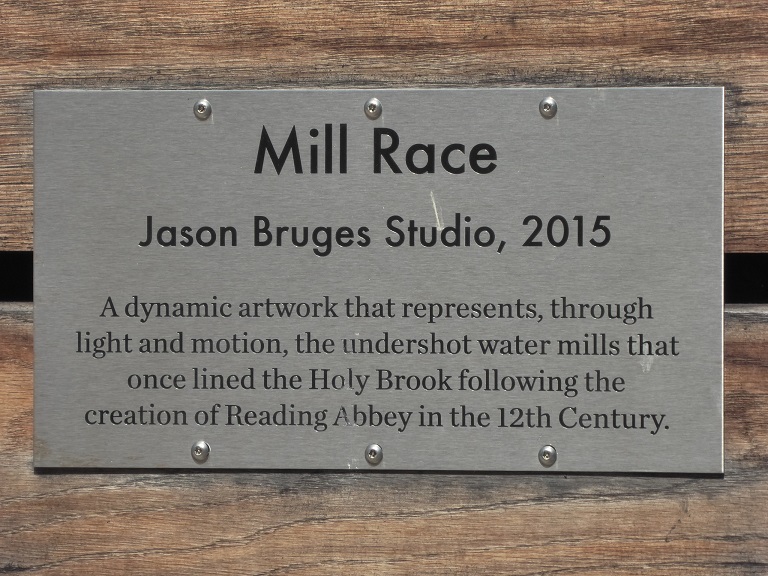
3.10 Holy Brook and Mill Race artwork.
Holy Brook is so-called because of its connection with Reading Abbey, which is about 500m downstream from this point.
Holy Brook branches from the River Kennet about 9km to the West near Theale, flows to the south of Calcot and Southcote before going underneath the centre
of Reading through a series of culverts such as those which can be seen here. Holy Brook rejoins the Kennet close to the Abbey ruins.
Turn left a short distance by Holy Brook to find this piece of artwork "Mill Race".
Disused steps to water level, at the back of 15 Gun St.