|
|
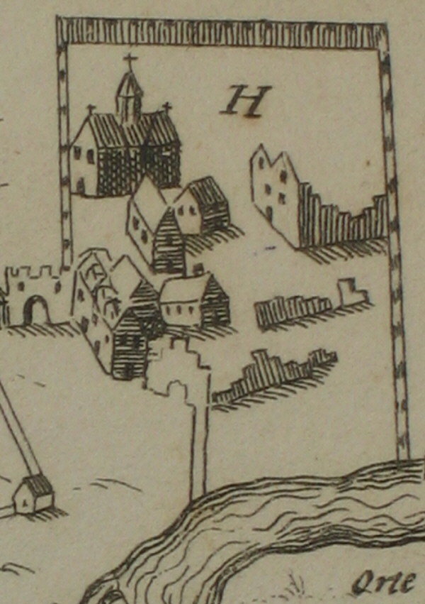
MAP OF THE ABBEY RUINS SPEED 1610
|
|
|
|
The earliest map of Reading by Speed in 1610 shows
the Abbey as above, more a collection of imaginary buildings. This is the
copy made by Man.
From the Local Studies Collection at Reading Central Library - for more images, visit the website - www.readinglibraries.org.uk - and click on "catalogue". |
|
| Back to Short interpretation or Detailed interpretation | |